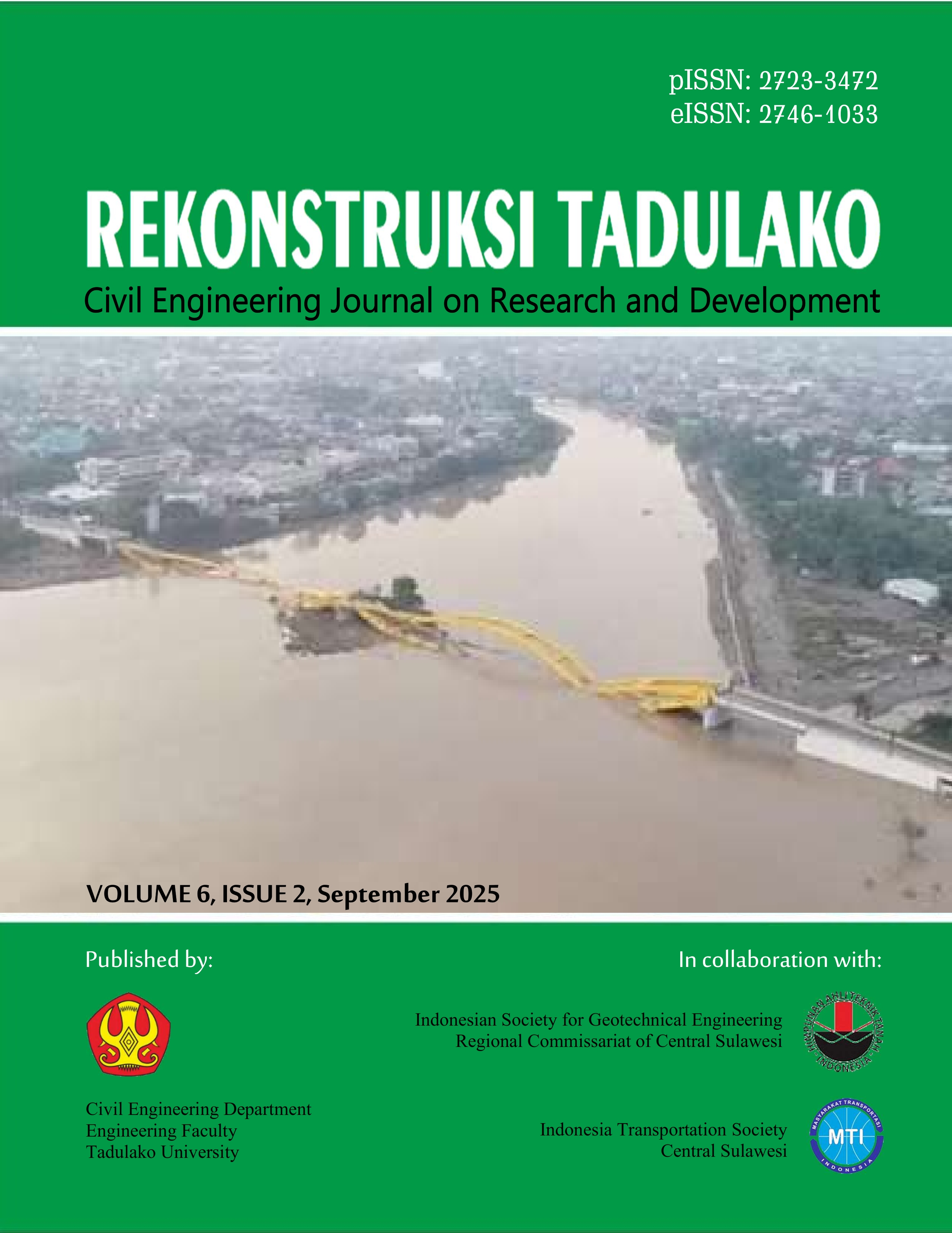
Prediksi Kerawanan Banjir di Daerah Aliran Sungai Olaya Kabupaten Parigi Moutong
DOI:
https://doi.org/10.22487/renstra.v6i2.744Keywords:
Olaya watershed, flood vulnerability parameters, Hamdani method, Latue methodAbstract
This study aims to determine the distribution of flood vulnerability levels in the Olaya Watershed located in Parigi Moutong Regency, using two previous research methods, namely the Hamdani et al. method, and the Latue & Latue method, which were then validated in the field to determine the level of validity of the two methods. The method used is data collection such as rainfall data, flood incident data, Olaya Watershed maps, DEMNAS maps, soil type maps and spot 6 satellite image maps. The analysis carried out in this study includes classifying and scoring the classification of rainfall parameters, slope gradient, land use, soil type, river buffer, elevation and Overlay is carried out by combining all input flood vulnerability parameters that have been mapped, to obtain flood vulnerability values and flood vulnerability level maps. The results of this study are the results of the analysis of flood vulnerability levels using the Hamdani et al. method, divided into Most Safe, Threatened, Vulnerable and Most Vulnerable while the Latue & Latue method is divided into Low, Medium and High. The results of these two methods are not yet in accordance with the flood events in the Olaya Watershed, this is because the weight of each parameter is not yet appropriate, there are still parameters that have not been included in the flood vulnerability modeling, the scoring of the parameter classification is not yet appropriate and the classification and scoring of the parameters are different
Downloads
References
Findayani, “Kesiap Siagaan Masyarakat Dalam Penanggulangan Banjir di Kota Semarang,” Jurnal Geografi, vol. 12, no. 1, p. 45, 2015.
Rahayu and D. Suryanti, Banjir dan Upaya Penanggulangannya, Jakarta: Pelita, 2009.
Tim Penyusun, Undang-Undang Nomor 24 Tahun 2007 Tentang Penanggulangan Bencana, Jakarta: BNPB, 2017.
H.Y. Nugroho, I. Dewi Novita, and M.K. Sallata, Pengelolaan Daerah Aliran Sungai (DAS) & Konservasi Tanah & Air Menjaga Keseimbangan Air dan Tanah, Yogyakarta: Penerbit Andi, 2022.
V.C. Tentua, E.J. Gaspersz, and F. Puturuhu, “Evaluasi Permukiman Berdasarkan Tingkat Kerawanan Banjir Pada Das Wae Ruhu”, Jurnal Budidaya Pertanian, vol. 14, no. 2, p. 113, 2018.
M. Seprianto, M. Anggo, L. Harudu, and S. Aldiansyah, “Pemetaan Daerah Potensi Rawan Banjir Menggunakan Metode Overlay”, Jurnal Penelitian Pendidikan Geografi, vol. 9, no. 4, p. 65, 2024.
H. Hamdani, S. Permana, and A. Susetyaningsih, “Analisa Daerah Rawan Banjir Menggunakan Aplikasi Sistem Informasi Geografis (Studi Kasus Pulau Bangka)”, Jurnal Konstruksi STT Garut, vol. 12, no. 1, p. 65, 2014.
P. Kusumo and E. Nursari, “Zonasi Tingkat Kerawanan Banjir dengan Sistem Informasi Geografis Pada DAS Cidurian Kab. Serang Banten”, Jurnal String, vol. 1, no. 1, p. 88, 2016.
S.Y. Nifen, B.A. Kironoto, and D. Luknanto, “Kajian Karakteristik DAS Untuk Daerah Tangkapan Hujan Waduk Sermo Kabupaten Kulon Progo Daerah Istimewa Yogyakarta”, Jurnal UMM, vol. 6, no. 5, p. 56, 2017.
J. Andrian and A. Haryati, “Pemetaan Potensi Rawan banjir Menggunakan Sistem Informasi Geografis di Kota Bandung, Jurnal Spasial, vol 6, no. 4, p. 87, 2022.
M.A.S. Dhuha, A.H. Saputra, A. Kristianto, and A. Mulya, “Impact-Based Forecasting (IBF) untuk Mendukung Manajemen Risiko Banjir di Kawasan Jabodetabek,” Jurnal Ilmu Lingkungan, vol. 22, no. 5, p. 1159, 2024.
T. Latue and P.C. Latue, “Pemodelan Spasial Daerah Rawan Banjir di DAS Batu Merah Ambon,” Jurnal Geografi, Ekologi dan Kebencanaan, vol. 1, no. 1, p. 1, 2023.
R.Y. Tallar, Dasar - Dasar Hidrologi Terapan, Gorontalo: Ideas Publishing, 2013.
K. Darmawan, Hani’ah, and A. Suprayogi, “Analisis Tingkat Kerawanan Banjir Di Kabupaten Sampang Menggunakan Metode Overlay dengan Scoring Berbasis Sistem Informasi Geografis”, Jurnal Geodesi Undip, vol. 6, no. 1, p. 31, 2017.
Sutikno, S. Dibyosaoutra, and E. Haryono, Geomorfologi Dasar, Yogyakarta: Gajah Mada University Press, 2019.
R.M. Fauzi, J. Nugroho, and R. Herawatiningsih, “Analisa Perubahan Penutupan Lahan Pada Kawasan Hutan Lindung Gunung Naning Kabupaten Sekadau Propinsi Kalimantan Barat”, Junal Hutan Lestari, vol. 4, no. 4, p. 520, 2016.
T.P.E. Pratama, “Analisis Index Overlay Untuk Pemetaan Kawasan Berpotensi Banjir di Gowa, Provinsi Sulawesi Selatan”, Jurnal Geosains dan Remote Sensing, vol. 1, no. 1, p. 52, 2020.
M. Andika, T. Putra, Y.S. Putra, and R. Adriat, “Analisis Tingkat Kerawanan Banjir Kabupaten Mempawah Provinsi Kalimantan Barat Menggunakan Metode Overlay Dengan Scoring Berbasis Sistem Informasi Geografis”, Jurnal Prisma Fisika, vol. 9, no. 3, p. 234, 2021.
R.A. Suneth, J.O. Waani, and A.E. Tungka, “Respon Masyarakat Di Kawasan Permukiman Padat Menurut Tingkat Kerawanan Banjir di Kecamatan Wenang Kota Manado”, Jurnal Perencanaan Wilayah dan Kota, vol. 7, no. 3, p. 108, 2020.
K. Darmawan, Hani’ah, and A. Suprayogi, “Analisis Tingkat Kerawanan Banjir Di Kabupaten Sampang Menggunakan Metode Overlay Dengan Scoring Berbasis Sistem Informasi Geografis”, Jurnal Geodesi Undip, vol. 6, no. 1, p. 31, 2017.
D. Kuswadi, “Evaluasi Degradasi Lahan Berdasarkan Identifikasi Perilaku Sungai dengan Pendekatan Geospasial di Sub Daerah Aliran Sungai Way Kandis,” Jurnal Ilmiah Teknik Pertanian, vol. 7, p. 1, 2015.
H. Hamdani, S. Permana, and A. Susetyaningsih, “Analisa Daerah Rawan Banjir Menggunakan Aplikasi Sistem Informasi Geografis (Studi Kasus Pulau Bangka)”. Jurnal Konstruksi STT Garut, vol. 12, no. 1, p. 324, 2014.
A.D. Wicaksono, E. Hidayah, and R.U.A. Wiyono, “Flood Vulnerability Assessment of Kali Welang Floodplain by Using AHP-Based Methods”, UKaRsT, vol. 5, no. 1, p. 80, 2021.
E. Hidayah, R.U.A. Wiyono, and A.D. Wicaksono, “Development of the flood vulnerability index using a multi-element approach”, Journal of Water and Land Development, vol. 50, p. 255, 2021.
N.S.S. Gahalod, K. Rajeev, P.K. Pant, S. Binjola, R. L. Yadav, dan R.L. Meena, “Spatial assessment of flood vulnerability and waterlogging extent in agricultural lands using RS-GIS and AHP technique—a case study of Patan district Gujarat, India”, Environ Monit Assess, vol. 196, no. 4, p. 1, 2024.
Downloads
Published
How to Cite
Issue
Section
License
Copyright (c) 2025 REKONSTRUKSI TADULAKO: Civil Engineering Journal on Research and Development

This work is licensed under a Creative Commons Attribution 4.0 International License.


 This work is licensed under a


