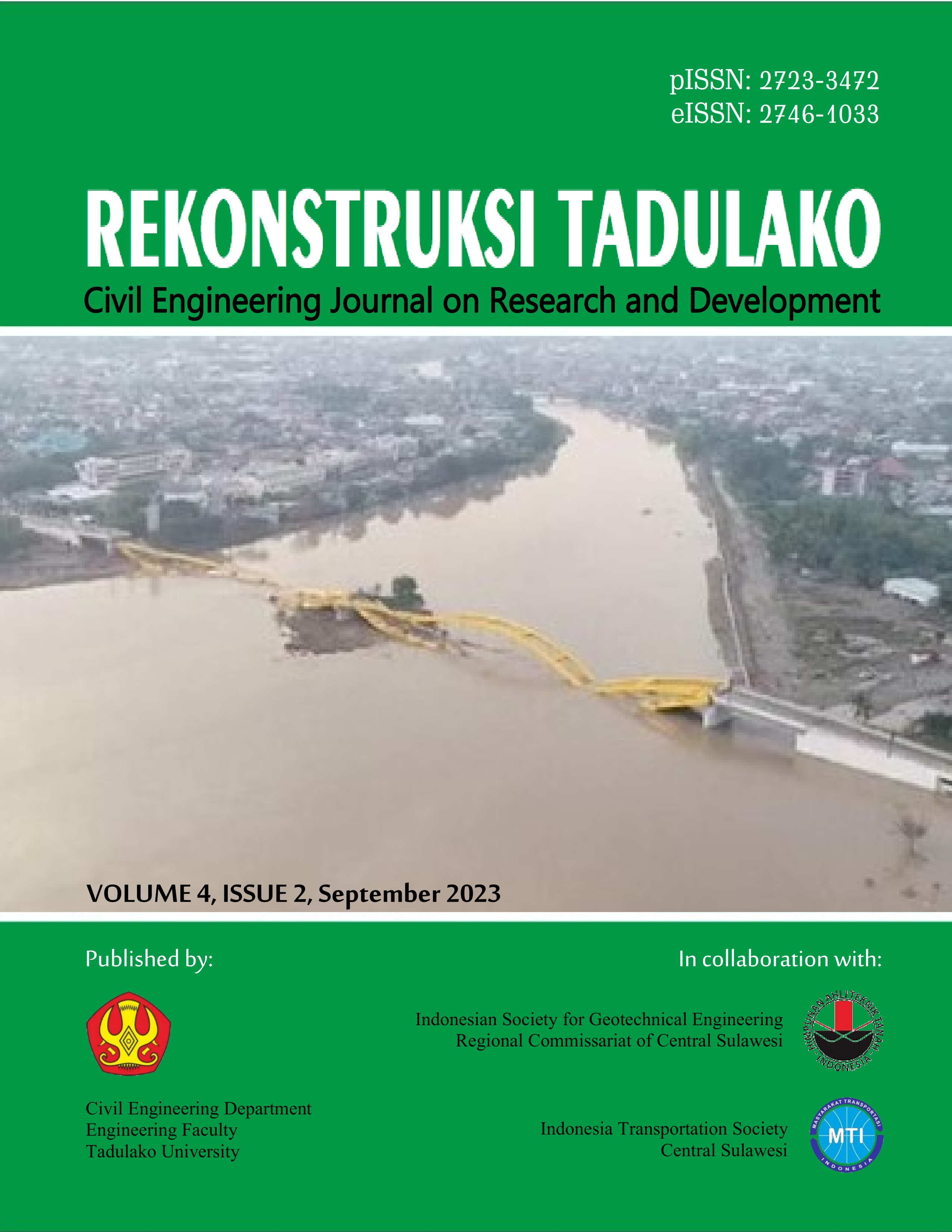
Pemodelan Estimasi Kecepatan Rambat Gelombang Geser Tanah (VS30) Berbasis Topografi, Geomorfologi dan Geologi
DOI:
https://doi.org/10.22487/renstra.v4i2.614Keywords:
VS3, topography slope, elevation, unit geomorphology, geologic ageAbstract
The 30 m top layer of soil as the medium of propagation of the earthquake wave is the closest to the structure of the building, and could have different effects depending on the type of soil and topography. The Indonesian earthquake code for building and non building structures known as SNI 1726-2012 using the directly measured VS30 as the primary parameter to identify the stiffness effect of sediment. The VS30 can be measured using non invasive methods, such as multi-channel analysis of surface waves (MASW). Direct, invasive measurements of VS30 around Indonesia would be difficult to implement due to the vastness of the country and the high cost nature of the testing. To provide an alternative to the direct measurement, VS30 estimation models have been developed. VS30 estimates using topography in the form of slopes are commonly used in North America, while geomorphological units are used in Japan. This research was carried out by correlating VS30 direct measurements with topographical, geomorphological and geological attributes. The VS30 obtained from series of MASW tests, the topographic slope and elevation from the Shuttle Radar Topography Mission (SRTM) 30 arcsec data, the geomorphology units data which are Structural, Karst, Vulkanik, Fluvial and Marine from landsystem map and the geologic age data from Geological Survey Centre (PSG). Data were analyzed by linear regression and spatial analysis. VS30 estimation modeling produces models with four variables, namely elevation, slope, geomorphological unit and geological age in the regions of Palu. Four proxy based estimates provide values that are slightly higher or lower but in a range not so far from direct measurements. The results of data processing analysis shows that local conditions greatly affect VS30 estimates in Palu. The VS30 estimation model in the form of a logarithmic equation is as follows, Log VS30 = -3.925 + 0.062 log(s) + 0.069 log(Ev) + 0.665 log(G) + 1.824 log(A) gives a slightly higher or lower value but in a range not far from direct measurement. This VS30 estimation model is suitable for soil classification on a regional scale and can be adopted for microzonation maps or real-time shake map.
Downloads
References
SNI 1726-2012. SNI 1726, Tata Cara Perencanaan Ketahanan Gempa Untuk Struktur Bangunan Gedung dan Non Gedung. Jakarta: BSN, 2012.
J.W. Scott, V. Lacrosse, M. Stannard, J. Russell, and S.V. Ballegooy, The Benefits and Opportunities of a Shared Geotechnical Database, Christchurch: International Society for Soil Mechanics and Geotechnical Engineering, 2015.
D.J. Wald and T.I. Allen, “Topographic Slope as A Proxy for Seismic Site Conditions and Amplification”, Bulletin of the Seismological Society of America, vol. 97, no. 5, p. 1379, 2007.
D.J. Wald, L. McWhirter, E. Thompson, and A.S. Hering, A New Strategy for Developing VS30 Maps, Santa Barbara: University of California Santa Barbara, 2011.
D.J. Wald and T.I. Allen, “On the Useof High-Resolution Topographic Data as a Proxy for Seismic Site Condition (VS 30)”, Bulletin of the Seismological Society of America, vol. 99, p. 935, 2009.
E.M. Thompson, D.J. Wald, and C.B. Worden, “A VS30 Map for California with Geologic and Topographic Constraints”, Bulletin of the Seismological Society of America, vol. 104, no. 5, p. 2313, 2014
E.M. Thompson and D.J. Wald, “Developing Vs30 Site-Condition Maps by Combining Observations with Geologicand Topographic Constraints”, Proc. the 15th World Conference on Earthquake Engineering, vol. 3, p. 1, 2012.
M. Matsuoka, K. Wakamatsu, K. Fujimoto, and S. Midorikawa, “Average Shear-Wave Velocity Mapping using Japan Engineering Geomorphologic Classification Map”, Journal Structural Engineering & Earthquake Engineering, vol. 23, p. 1, 2006.
W.A. Prakoso, “Strong-Motion Instrument Spatial Distributionmodel for Indonesia”, ASCE Natural Hazards Review, vol. 15, no. 2, p. 104, 2014.
W.A. Prakoso, I.N. Sukanta, E. Santoso, and D. Damoerin, “Comparison of Vs,30 Based on Seismic Down Hole and MASW Methods”, Proc. ISGE Annual Conference, vol. 5, p. 1, 2013.
https://earthexplorer.usgs.gov, SRTM 3 /1Arcsec, accessed on July 18, 2023
Badan Informasi Geospasial, Peta Sistim Lahan, Jakarta: BIG, 2023.
Badan Informasi Geospasial, Peta Geologi Indonesia, Jakarta: BIG, 2023.
P.S. Thien, “Estimation of S-wave Velocity Structure for Sedimentary Layered Media Using Microtremor Array Measurements in Palu City, Indonesia”, Procedia Environmental Sciences, vol. 28, p. 1, 2015.
United States Geological Survey (USGS), CustomVS,30 Mapping, New York: USGS, 2014.
A. Rahayu, W.A. Prakoso, I.A. Sadisun, A.S. Muntohar, M. Muzli, and A. Rudyanto, “Comparing Shear-Wave Velocity from MASW with Borehole Measurementat Merapi Sediment in Yogyakarta”, IJTech, vol. 6, p. 993, 2017.
Downloads
Published
How to Cite
Issue
Section
License
Copyright (c) 2023 REKONSTRUKSI TADULAKO: Civil Engineering Journal on Research and Development

This work is licensed under a Creative Commons Attribution 4.0 International License.


 This work is licensed under a


